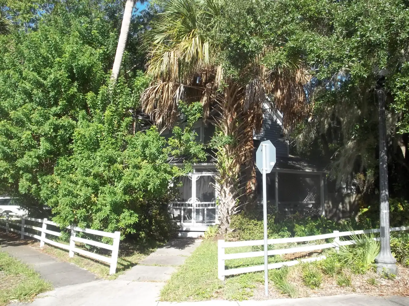
Downtown Kissimmee's redevelopment area covers 726 acres and about 1,700 homes, most built before 1960. Every home is zoned for Osceola High School.
Last checked Oct. 9, 2026. Sources: the City of Kissimmee’s Zoning and Future Land Use Atlas (redevelopment area, historic overlay and parcel layers), its Community Redevelopment Agencies page and the 2025 Downtown Kissimmee CRA plan update, the School District of Osceola County’s 2026-27 attendance zones, the Florida Department of Education’s 2026 school grades, Zillow Research, LYNX and OpenStreetMap.
Downtown is the city’s oldest part, on the north shore of Lake Tohopekaliga. This page uses the boundary of the Downtown Kissimmee Community Redevelopment Area, which the city set up in 1992 to support “the businesses and neighborhoods that compose the historic downtown,” according to its comprehensive plan. On the city’s map the area covers about 726 acres.
The city’s parcel layer, built from Osceola County Property Appraiser records, shows about 1,694 homes on 593 residential parcels. About 69% are apartments or other multifamily homes and 30% are single-family houses. Downtown is old by Kissimmee standards: the median build year of its residential parcels is 1948, and 469 of 591 were built before 1960.
What this means for you
- High school: Osceola High School, for every downtown home. It earned a C in Florida’s 2026 grades.
- Home value: $284,955 in ZIP 34741 in August 2026, according to the Zillow Home Value Index.
- Nearest highway exit: Florida’s Turnpike exit 244 (U.S. 192/441), about 4.6 miles by road.
Part of our Kissimmee neighborhoods guide. For restaurants, events and parking, see our guide to downtown Kissimmee.
Where it is
The redevelopment area runs from Vine Street (U.S. 192) south to the lakefront, with John Young Parkway on its west side and Neptune Road on its east side. Main Street, Broadway, Emmett Street, Oak Street and Martin Luther King Jr. Boulevard cross it.
The 2025 CRA plan update describes the parts this way: East Main and the Central Medical District are the northern gateway, West Emmett North, West Emmett South and the Government Office Area are on the west, the Central Business District is the core, and the Lakefront neighborhoods step down to the shore. The city’s comprehensive plan splits the area into land use sub-areas, from Low Density Residential and Moderate Density Residential to the Downtown Transit Station Area around the train station.
Historic districts. The plan update lists two. The South Beaumont historic district, set up in 2003, is a city overlay of about 35 acres with about 100 buildings; changes there follow the city’s design standards. The city’s parcel layer shows 95 homes in it, with a median build year of 1925. A National Register of Historic Places district, set up in 1994, covers more of downtown but is not regulated by the city. Individually listed landmarks include the Osceola County Courthouse (built in 1890, listed in 1977), the First United Methodist Church at 215 E. Church St., Old Holy Redeemer Catholic Church at 120 N. Sproule Ave. and the Monument of States.
ZIP codes: 34741 for about 70% of homes and 34744 for the rest, mostly east of Main Street.
Schools
From the district’s 2026-27 attendance zone files, matched to every residential parcel:
| Level | Zoned school | Share of downtown homes | Florida 2026 grade |
|---|---|---|---|
| Elementary | Central Avenue Elementary | 85% | C |
| Elementary | Thacker Avenue Elementary for International Studies | 15% | B |
| Middle | Denn John Middle | 100% | C |
| High | Osceola High | 100% | C |
Each name links to the school’s state report card. Downtown is split between two elementary zones, so check an address on the district’s school locator maps. More in our schools guide.
Home values
The typical home value in ZIP 34741 was $284,955 in August 2026, down 4.1% from $297,102 in August 2025. In ZIP 34744 it was $380,668, down 2.5% from $390,277. Zillow’s figure for Kissimmee as a whole was $355,971, down 3.2%. The Zillow Home Value Index is a modeled typical value for the middle third of homes, single-family houses and condos together, not a sale price, and it covers each whole ZIP code, not just downtown. More in our home prices guide.
Parks and trails
Inside the area or on its lakefront edge, from the city’s parks listings:
- Kissimmee Lakefront Park, 201 Lakeview Drive: splash pad, playgrounds, pavilions, fishing pier and the lighthouse.
- Big Toho Marina, 69 Lakeview Drive, next to the park: boat ramp, slips and fishing pier.
- Brinson Park, 406 Neptune Road: lakeside fishing pier, picnic tables and grills, with a bike trail along the lake to Lakefront Park.
- Kissimmee Civic Center, 201 E. Dakin Ave., and the Berlinsky Community House, 300 E. Monument Ave.
More in our parks and trails guide.
Getting around
- Turnpike: exit 244 (U.S. 192/441), about 4.6 miles by road; exit 249 (Osceola Parkway), about 5 miles.
- I-4: exit 64 (U.S. 192), about 10.7 miles.
- City Hall (101 Church St.): about 0.2 miles.
- Orlando International Airport: about 16.4 miles.
- These are distances measured on the OpenStreetMap road network with the OSRM routing engine, not drive times.
- Train: SunRail and Amtrak stop at the Kissimmee Intermodal station, 111 E. Dakin Ave., inside the area.
- Bus: LYNX’s current schedule data lists routes 10, 18, 26, 55, 56, 57 and 108 and FastLink 407 and 441 with stops downtown. Times are on LYNX’s route pages.
More in our getting around guide.
Groceries and everyday stores
OpenStreetMap lists Tropical Meat & Produce on East Vine Street, on the area’s northern edge. The nearest pharmacies it maps are the CVS Pharmacy at 1300 E. Vine St., about 1.4 miles by road from the middle of downtown, and the CVS Pharmacy at 1205 W. Vine St., about 1.7 miles.
How we drew this area
This page follows the Downtown CRA polygon on the City of Kissimmee’s GIS server. Home counts, build years and ZIP codes come from the city’s parcel layer (Osceola County Property Appraiser records) on Oct. 9, 2026, counting residential parcels and their living units. Each parcel was matched to the School District of Osceola County’s 2026-27 attendance zone files, approved by the School Board on June 23, 2026. Store locations and road distances use © OpenStreetMap contributors.
Frequently asked questions
What ZIP code is downtown Kissimmee?
Mostly 34741. About 70% of the homes in the Downtown Community Redevelopment Area are in 34741 and the rest, east of Main Street, are in 34744.
What high school is downtown Kissimmee zoned for?
Osceola High School, for every home in the downtown redevelopment area in the 2026-27 zones. It earned a C in Florida’s 2026 school grades.
Is downtown Kissimmee a good place to live?
Here are the facts. The downtown redevelopment area has about 1,700 homes, most of them apartments, and a median build year of 1948. It has Lakefront Park, the SunRail and Amtrak station and City Hall, and the typical home value in ZIP 34741 was $284,955 in August 2026, according to Zillow.
What is the South Beaumont historic district?
A city historic preservation overlay of about 35 acres on the south side of downtown, set up in 2003. Exterior changes to its roughly 100 buildings follow the city’s design standards.
Have your say