The Vine Street redevelopment area runs nearly 5 miles along U.S. 192 from Bass Road to Denn John Lane, with about 2,200 homes and four zoned high schools.
Last checked Oct. 9, 2026. Sources: the City of Kissimmee’s Community Redevelopment Agencies page, Zoning and Future Land Use Atlas (redevelopment area and parcel layers), its 2040 Comprehensive Plan and Ordinance 2839, the School District of Osceola County’s 2026-27 attendance zones, the Florida Department of Education’s 2026 school grades, Zillow Research, LYNX and OpenStreetMap.
Vine Street is what Kissimmee calls U.S. 192 as it crosses the city. The corridor along it is the city’s second redevelopment area. The City Commission adopted the findings that created the Vine Street Community Redevelopment Agency on June 4, 2012, according to the ordinance that set up its trust fund. The city says the area “spans nearly 5 miles from Denn John Lane to Bass Road” and covers 1,333 acres.
The city’s parcel layer shows about 2,245 homes on 1,329 residential parcels in the corridor, not counting the stretch inside the downtown redevelopment area. About 43% are apartments or other multifamily homes, 29% are condos and 28% are single-family houses. The median build year is 1973.
What this means for you
- High school: Osceola High School for 77% of homes (C in Florida’s 2026 grades); the rest are split among Gateway, Liberty and Celebration high schools.
- Home value: $284,955 in ZIP 34741 in August 2026, according to the Zillow Home Value Index.
- Nearest highway exit: Florida’s Turnpike exit 244 (U.S. 192/441), about 5.2 miles by road from the middle of the corridor.
Part of our Kissimmee neighborhoods guide.
Where it is
The redevelopment area follows West Vine Street and East Vine Street for about a quarter mile on each side, from Bass Road and Oren Brown Road on the west to Denn John Lane on the east. John Young Parkway, Thacker Avenue, Main Street and Michigan Avenue cross it, and West Columbia Avenue runs parallel on the north side.
The city’s 2040 Comprehensive Plan gives the corridor its own Vine Street mixed-use land use. It is meant to “transform existing strip-style, highway commercial development into a connected series of mixed-use, urban scale neighborhoods and villages,” with an overall mix of half homes and half other uses and up to 40 homes an acre.
The corridor includes the Orange Gardens streets around the city’s Orange Gardens Community Center and Ladue Park, south of West Vine Street.
ZIP codes: 34741 for 61% of homes, 34744 for 37%, mostly east of Main Street, and 34746 for 2% at the far west end.
Schools
From the district’s 2026-27 attendance zone files, matched to every residential parcel:
| Level | Zoned school | Share of homes | Florida 2026 grade |
|---|---|---|---|
| Elementary | Central Avenue Elementary | 36% | C |
| Elementary | Thacker Avenue Elementary for International Studies | 23% | B |
| Elementary | Mill Creek Elementary | 22% | B |
| Elementary | Kissimmee Elementary | 13% | B |
| Middle | Denn John Middle | 57% | C |
| Middle | Kissimmee Middle | 41% | B |
| High | Osceola High | 77% | C |
| High | Gateway High | 16% | B |
| High | Liberty High | 5% | C |
Pleasant Hill Elementary, Knights Point K-8 and Celebration High each serve a sliver of the corridor. Because it crosses so many zones, check an address on the district’s school locator maps. More in our schools guide.
Home values
The typical home value in ZIP 34741 was $284,955 in August 2026, down 4.1% from $297,102 in August 2025. In ZIP 34744 it was $380,668, down 2.5% from $390,277. Zillow’s Kissimmee figure was $355,971, down 3.2%. The Zillow Home Value Index is a modeled typical value for the middle third of homes, single-family houses and condos together, not a sale price, and it covers each whole ZIP code, not just the corridor. More in our home prices guide.
Parks and trails
Inside the redevelopment area, from the city’s parks listings:
- Ladue Park, 1112 W. Catherine St.: playground, picnic pavilion and open space in Orange Gardens.
- Orange Gardens Community Center, 1114 George St.
- Ruba Park, 4267 Yates Road, by Shingle Creek: picnic areas, grills and a playground.
Shingle Creek Regional Park’s Steffee Landing, 4266 W. Vine St., and Oak Street Park, 717 N. Palm Ave., sit just outside the boundary. More in our parks and trails guide.
Getting around
- Turnpike: exit 244 (U.S. 192/441), about 5.2 miles by road from the middle of the corridor; exit 249 (Osceola Parkway), about 5.3 miles.
- I-4: exit 64 (U.S. 192), about 8.7 miles west along the highway.
- City Hall: about 2.2 miles. Orlando International Airport: about 16.7 miles.
- These are distances measured on the OpenStreetMap road network with the OSRM routing engine, not drive times.
- Bus: LYNX’s current schedule data lists routes 10, 18, 26, 55, 56, 57 and 108 and FastLink 441 with stops in the corridor. Routes 55 and 56 are LYNX’s West U.S. 192 routes. Times are on LYNX’s route pages.
More in our getting around guide.
Groceries and everyday stores
OpenStreetMap maps these inside the corridor, among others:
- Walmart Supercenter, West Irlo Bronson Memorial Highway, and ALDI, West Vine Street, at the west end
- Walmart Neighborhood Market, West Vine Street
- Publix, North John Young Parkway
- Presidente Supermarket, East Vine Street, and Tropical Meat & Produce, East Vine Street
- Save-A-Lot, West Columbia Avenue
- CVS Pharmacy, West Vine Street and East Vine Street; Walgreens, West Vine Street
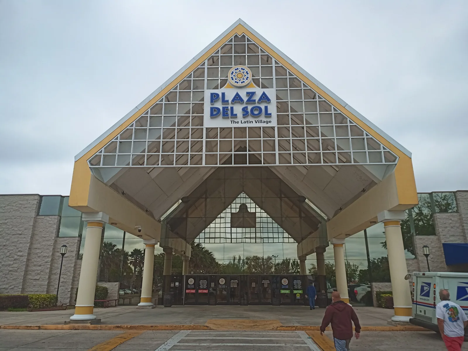
Plaza del Sol, the former Osceola Square Mall, is on West Vine Street.
How we drew this area
This page follows the Vine Street CRA polygon on the City of Kissimmee’s GIS server, minus the part that overlaps the downtown redevelopment area, which has its own page. Home counts, build years and ZIP codes come from the city’s parcel layer (Osceola County Property Appraiser records) on Oct. 9, 2026, matched to the School District of Osceola County’s 2026-27 attendance zone files. Store locations and road distances use © OpenStreetMap contributors.
Frequently asked questions
Where is the Vine Street CRA in Kissimmee?
Along Vine Street, the city’s name for U.S. 192, for nearly 5 miles from Bass Road on the west to Denn John Lane on the east. The city says it covers 1,333 acres.
What high school is zoned for Vine Street homes in Kissimmee?
It depends on the block. In the 2026-27 zones, 77% of homes in the Vine Street area are zoned for Osceola High, 16% for Gateway High, 5% for Liberty High and 2% for Celebration High.
Is Vine Street in Kissimmee a good place to live?
Here are the facts. The corridor has about 2,245 homes, 43% of them apartments and 29% condos, a median build year of 1973, more than 10 grocery stores and pharmacies on OpenStreetMap, and eight LYNX routes. The typical home value in ZIP 34741 was $284,955 in August 2026, according to Zillow.
What is planned for Vine Street in Kissimmee?
The city’s comprehensive plan sets a Vine Street mixed-use land use meant to turn strip-style highway commercial development into connected mixed-use neighborhoods, with up to 40 homes an acre.
Have your say