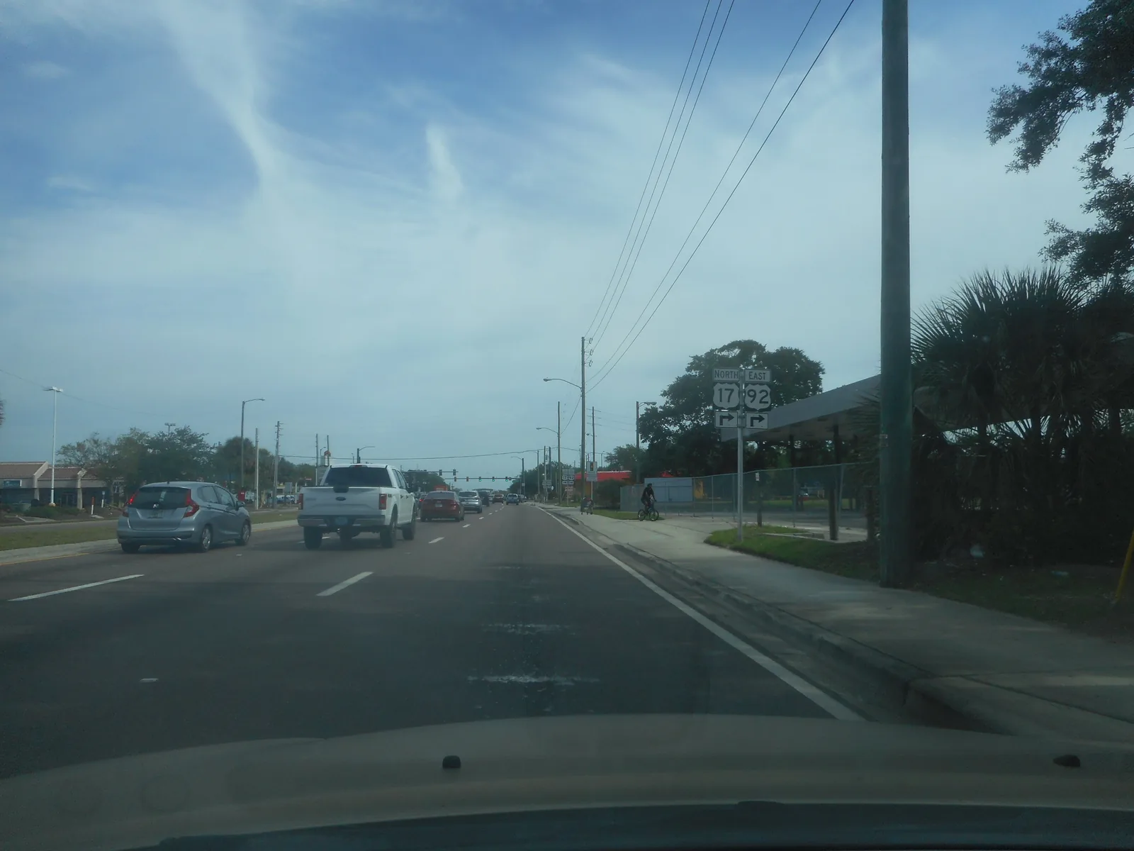
South Kissimmee along John Young Parkway has about 2,100 homes, 80% single-family, with high school zones split between Osceola High and Liberty High.
Last checked Oct. 9, 2026. Sources: the City of Kissimmee’s Zoning and Future Land Use Atlas (mobility district, PUD and parcel layers) and parks directory, the School District of Osceola County’s 2026-27 attendance zones, the Florida Department of Education’s 2026 school grades, Zillow Research, LYNX and OpenStreetMap.
South of Clay Street, Kissimmee’s city limits follow South John Young Parkway (U.S. 17-92) toward Pleasant Hill Road. This page covers that part of the city, which it maps as Mobility District 5, about 1,612 acres. Much of it was built in the last 20 years.
The city’s parcel layer shows about 2,101 homes on 1,783 residential parcels: 80% single-family houses, 15% apartments and 4% condos. The median build year is 2006, and 662 residential parcels were built in 2010 or later.
What this means for you
- High school: split between Osceola High (51% of homes) and Liberty High (49%); both earned a C in Florida’s 2026 grades.
- Home value: $284,955 in ZIP 34741 and $357,183 in ZIP 34746 in August 2026, according to the Zillow Home Value Index.
- Nearest highway exit: Florida’s Turnpike exit 244 (U.S. 192/441), about 9.3 miles by road.
Part of our Kissimmee neighborhoods guide.
Where it is
The area starts at Clay Street and Neptune Road on its north side, next to downtown and the MLK Boulevard area, and runs south along South John Young Parkway, which forms much of its western edge. Its northeast corner reaches the lakefront by Big Toho Marina.
The city’s planned unit development layer names the largest projects: the Osceola Village Center PUD, about 199 acres; The Oaks Phase IB1 and Phase IB2 PUDs; Shingle Creek at the Oaks, about 192 acres; and Toho Estates. County plat records also name Estancia, Osceola Park Estates and Canterbury Terrace.
ZIP codes: 34741 for 51% of homes and 34746 for 49%.
Schools
From the district’s 2026-27 attendance zone files, matched to every residential parcel:
| Level | Zoned school | Share of homes | Florida 2026 grade |
|---|---|---|---|
| Elementary | Thacker Avenue Elementary for International Studies | 51% | B |
| Elementary | Pleasant Hill Elementary | 49% | B |
| Middle | Horizon Middle | 49% | B |
| Middle | Denn John Middle | 45% | C |
| Middle | Kissimmee Middle | 6% | B |
| High | Osceola High | 51% | C |
| High | Liberty High | 49% | C |
The split follows the ZIP code split closely: the 34746 homes are zoned for Pleasant Hill, Horizon and Liberty. Check an address on the district’s school locator maps. More in our schools guide.
Home values
The typical home value in ZIP 34741 was $284,955 in August 2026, down 4.1% from $297,102 in August 2025. In ZIP 34746, which Zillow files under Campbell, it was $357,183, down 3.9% from $371,675. Zillow’s Kissimmee figure was $355,971, down 3.2%. The Zillow Home Value Index is a modeled typical value for the middle third of homes, single-family houses and condos together, not a sale price, and it covers each whole ZIP code, not just this area. More in our home prices guide.
Parks and trails
No park in the city’s parks listings is well inside the area. At its edges:
- Big Toho Marina, 69 Lakeview Drive, at the northeast corner, and Kissimmee Lakefront Park, 201 Lakeview Drive, next to it downtown.
- Lancaster Ranch Park, 1881 Jack Calhoun Drive, nearby: a new 150-acre city park opening in phases, with Green Meadows Petting Farm open since March 15, 2025.
More in our parks and trails guide.
Getting around
- Turnpike: exit 244 (U.S. 192/441), about 9.3 miles by road; exit 249 (Osceola Parkway), about 9.7 miles.
- I-4: exit 64 (U.S. 192), about 13.2 miles.
- City Hall: about 4.7 miles by road from the middle of the area. Orlando International Airport: about 21.1 miles.
- These are distances measured on the OpenStreetMap road network with the OSRM routing engine, not drive times.
- Train: the Poinciana SunRail station is about 5.6 miles by road and the Kissimmee Intermodal station downtown about 4.9 miles.
- Bus: LYNX’s current schedule data shows no stops inside the area. The nearest, on Pleasant Hill Road and on U.S. 17-92 at Pleasant Hill Road, about a mile from its middle, are served by route 26. Times are on LYNX’s route pages.
More in our getting around guide.
Groceries and everyday stores
OpenStreetMap lists no supermarket or pharmacy inside the area. The nearest it maps are the Publix at 3343 S. Orange Blossom Trail and the CVS Pharmacy at 3300 S. Orange Blossom Trail, each about 2.6 miles by road from the middle of the area.
How we drew this area
This page follows Mobility District 5 on the City of Kissimmee’s mobility district layer. The city gives the district a number, not a name; we call it South John Young Parkway for its main road. Home counts, build years and ZIP codes come from the city’s parcel layer (Osceola County Property Appraiser records) on Oct. 9, 2026, matched to the School District of Osceola County’s 2026-27 attendance zone files. Store locations and road distances use © OpenStreetMap contributors.
Frequently asked questions
What high school is zoned for south Kissimmee along John Young Parkway?
It is split almost evenly. In the 2026-27 zones, 51% of homes in this area are zoned for Osceola High and 49% for Liberty High.
Is the South John Young Parkway area of Kissimmee a good place to live?
Here are the facts. The area has about 2,100 homes, 80% of them single-family houses, with a median build year of 2006, no LYNX stop inside it and no supermarket on OpenStreetMap inside it. The typical home value in ZIP 34746 was $357,183 in August 2026, according to Zillow.
What ZIP code is The Oaks in Kissimmee?
The homes in this area are split between 34741 (51%) and 34746 (49%). Check the ZIP code on the property’s own address.
What elementary school serves south Kissimmee?
Thacker Avenue Elementary for 51% of homes in this area and Pleasant Hill Elementary for 49%, both rated B in Florida’s 2026 grades.
Have your say